Python Course: Creating a Python Script within a Notebook, Final Project

This video case study, provided by the GeoTech Center, is from module nine of the Python and Geospatial Mapping course, titled More Python. The course is designed for experienced users of Global Information Systems (GIS) platforms who are new to programming, with the goal of teaching them how to use Python to automate processes through the construction of short scripts in ArcGIS Pro.
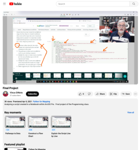
In this case study, learners will simulate the role of a geospatial technician, analyzing a script created by a past employee who left no documentation. Learners will receive a pre-made script in a Jupyter notebook with a map package and follow six steps to identify what the script does. In order to run the script, learners will first need to fix data path ways. Six tasks are required to complete the assignment:
- Construct a flow chart for the script.
- Explain the script line by line and add comments to the script.
- The pathways to data can be modified to work on your desktop computer.
- Modify the script to create county road files for the state of Indiana (go to the GIS repository for data).
- Modify the script to work with a different state and provide the results in a single geodatabase. Not every file type is required.
- Make suggestion for script improvements.
The script and map package can be found in the online module. The video runs 5:52 minutes in length. Additional resources from the Python and Geospatial Mapping course are available to view separately.
Comments