Browse Resources
Higher Education -- Technical Education (Upper Division)
Resources | |
|---|---|
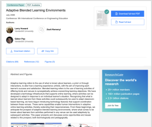
This conference paper, by Larry Howard, Zsolt Remenyi, and Gabor Pap, of Vanderbilt University's Institute for Software Integrated Systems, covers technology used to create adaptive blended learning environments. The authors discuss "opportunities and issues related to this prospect, both...
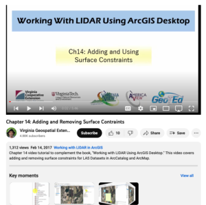
This video, provided by Virginia Geospatial Extension, is part of a series of 16 tutorial videos on using Lidar with ArcGIS Desktop. This tutorial demonstrates how to add and remove surface constraints on a Lidar dataset in ArcGIS Desktop. This video runs 05:46 minutes in length. The other videos in...
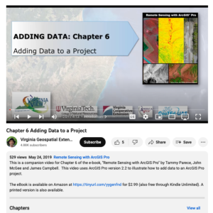
This video, provided by Virginia Geospatial Extension, is part of a series of 28 tutorial videos on remote sensing with ArcGIS Pro. This video is the last of three tutorials that cover adding data to a map project. This tutorial briefly describes the differences between raster and vector data files....
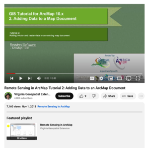
This tutorial, provided by Virginia Geospatial Extension, is part of a series of 30 videos that cover remotely sensed data in ArcMap 10.x versions. This tutorial demonstrates adding data to an ArcMap document. This video runs 00:49 seconds in length. The other videos in the series are available to...
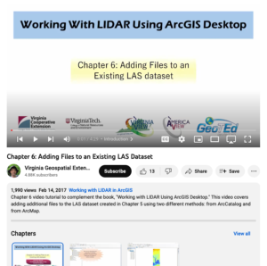
This video, provided by Virginia Geospatial Extension, is part of a series of 16 tutorial videos on using Lidar with ArcGIS Desktop. This tutorial demonstrates how to add files to an existing LAS-formatted Lidar datasets for use in ArcGIS Desktop. This video runs 04:29 minutes in length. The other...
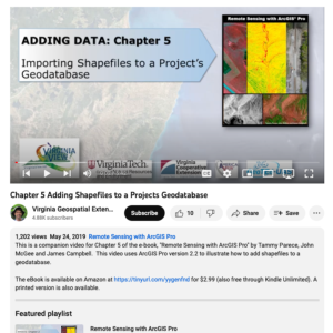
This video, provided by Virginia Geospatial Extension, is part of a series of 28 tutorial videos on remote sensing with ArcGIS Pro. This video is the second of three tutorials that cover adding data to a map project. This tutorial demonstrates how to add shapefiles to a geodatabase using ArcGIS Pro...
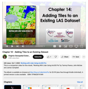
This video, provided by Virginia Geospatial Extension, is part of a series of 22 tutorial videos on working with Lidar using ArcGIS Pro. This tutorial demonstrates adding tiles to the Mesa County LAS dataset, updating statistics for a LAS dataset, and removing tiles from a LAS dataset. This video...
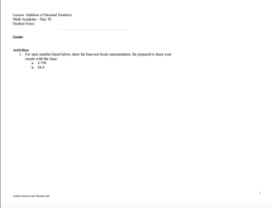
This lesson plan, from the Contextualize to Learn project at the University of Wisconsin-Madison, is an exploration in the addition of decimal numbers. In this lesson, students work individually and in pairs to solve application problems using multiple methods. Included in the lesson plan is a...
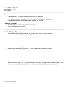
This lesson plan, from the Contextualize to Learn project at the University of Wisconsin-Madison, provides an opportunity for students to explore adding fractions with like and unlike denominators. In this lesson, students work in pairs to demonstrate the addition of fractions utilizing models,...
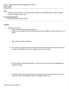
This lesson plan, from the Contextualize to Learn project at the University of Wisconsin-Madison, provides an opportunity for students to add natural numbers together. In the activity, students work in pairs to add two multi-digit natural numbers, where addends differ in number of digits. Included...
| |
| ← Previous | Next → |
