Browse Resources
Resources | |
|---|---|
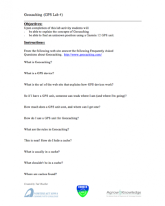
This 2-page activity is provided by AgroKnowledge and covers concepts of the game geocaching. "Upon completion of this activity students will be able to explain the concepts of geocaching and be able to find an unknown position using a Garmin 12 GPS unit." This activity includes Objectives and...
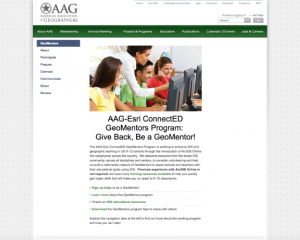
National Geographic and ESRI have created a new program to inspire educators and community members to work together to improve student learning.The GeoMentor program is designed to inspire volunteers to work with a teacher or youth club leader to help kids see, use, and do more geography in and out...
This document from the GeoTech Center provides a report on the Geospatial Environmental Project. The project, which was done at the Collegiate High School at Northwest Florida State College, aimed to "increase the number of high school students who will major in engineering, science, and/or...
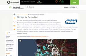
This video segment from Geospatial Revolution, produced by Penn State Public Broadcasting, demonstrates how different digital technologies can be used together to create a powerful mapping tool that can help in a crisis situation. In the aftermath of the 2010 earthquake in Haiti, a technology...
The GeoTech Center, from Del Mar College, presents their YouTube channel, featuring videos on geospatial technology education, competitions, workforce, and more. View a number of the GeoTech Center's webinars, on topics from integrating GIS across the curriculum to developing e-portfolios.
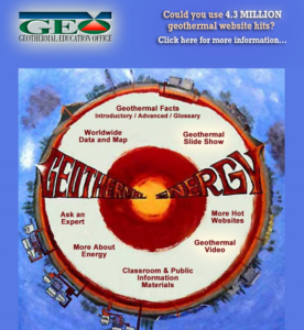
This site includes world maps showing geothermal sites, geothermal slide shows, geothermal facts, a glossary, and links to other sites that have geothermal information. It also includes materials for use in classrooms and resources for the general public. There is a list of more resources related...
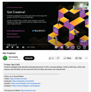
This video, from the 2021 Esri Education Summit, provides three presentations on "creative strategies to help educators leverage the power of GIS in unusual settings." In the first presentation, Hok Him "Aaron" Liu provides information on the use of GIS and StoryMap for K-12 geography education in...
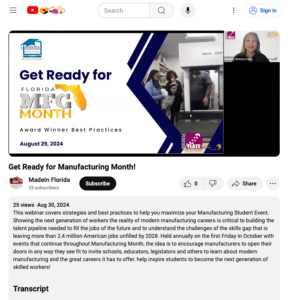
This webinar from the Florida Advanced Technological Education Center for Manufacturing (FLATE) focuses on manufacturing student events and features an expert panel on planning and executing a successful industry tour. The webinar begins with an overview of FLATE and a brief discussion on different...
This video from the Florida Advanced Technological Education Center (FLATE) explores FLATE and its partners and projects. In the video, Marilyn Barger provides an overview of FLATE. Sierra Anderson then describes the Florida Department of Education (FDOE) Apprenticeship Florida project and its...
This resource, published by NEW Manufacturing Alliance, features instructional math videos for children in grades 3 through 12. Each video is a few minutes in length and features actual employees in factories solving real math related problems for their jobs. Videos include breaks to allow viewers...
| |
| ← Previous | Next → |
