Browse Resources
Audio/Visual -- Map
Resources |
|---|
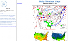 This website, from the United States Department of Commerce, provides access to daily weather maps from 2002 to the present. Maps that are available include plotted station observations, maximum and minimum temperatures, winds, and precipitation. Users can locate past maps and navigate to specific...
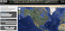 This tool from the United States Geological Survey provides an easy way to navigate a variety of data sets including aerial photography, AVHRR composites, declassified data, digital line graphs, digital maps and more. The tool also makes it easy to find the latitude and longitude for a given...
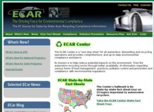 Like most businesses, automotive recycling facilities are subject to stringent federal, state and local environmental laws. The ECAR website is designed to provide a state-by-state breakdown of the requirements that apply specifically to industry activities for those states having developed said...
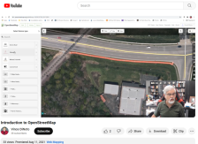 This video, provided by the GeoTech Center, is part of a series on web mapping and provides an overview of OpenStreetMap (OSM). OSM is a free, community-ran online map that features a variety of map layers and editable features.
After introducing OSM, Vince DiNoto, director of the GeoTech Center,...
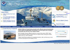 In 1807, President Thomas Jefferson established the Survey of the Coast in order to support safe transportation through the United States' waters. Today, the Office of Coast Survey is part of the National Oceanic and Atmospheric Administration's (NOAA) National Ocean Service. Their mission is to...
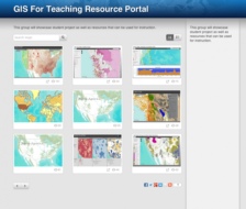 This page showcases student projects and other resources that may be used for GIS education. Users may view the resources as a grid, or by selecting the list view, they may read a brief description of each resource. These learning activities and interactive tools cover topics such as sociology,...
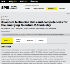 This 17-page article, provided by Indian River State College, presents the results of a quantum industry survey on the skills and competencies necessary in a quantum technician workforce, followed by recommendations for quantum technician curricula based on the survey results. The article provides...
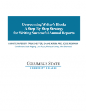 This 4-page white paper, provided by Columbia State Community College, outlines a step-by-step strategy for writing annual reports for the National Science Foundation- Advanced Technological Education Community. The paper describes success strategies, such as a structured annual reporting timeline....
|