Browse Resources
Information and Security Technologies -- Geospatial technologies
Resources |
|---|
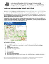 In this 2-page activity, provided by the GeoTech Consortium of Western New York: Get the GIST (Geospatial Information Science Technology) Certificate, users will use the ArcGIS web app to collect tree data on four variables. Data will be collected on dbh (diameter base height), tree name, condition,...
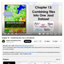 This video, provided by Virginia Geospatial Extension, is part of a series of 22 tutorial videos on working with Lidar using ArcGIS Pro. This tutorial demonstrates combining multiple .las files into a single .lasd data set, two methods for creating a LAS dataset - Catalog and Geoprocessing tool, and...
 This module is provided by GeoTech Center, and introduces the art and science of color and its role in geospatial analysis visualizations. This learning module will also discuss how to select appropriate colors for different classifications of data. Module contents include one overview document, a...
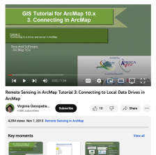
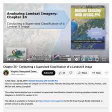 This video, provided by Virginia Geospatial Extension, is part of a series of 28 tutorial videos on remote sensing with ArcGIS Pro. This tutorial "demonstrates how to conduct a supervised classification, based on training samples created in prior chapters, in ArcGIS Pro version 2.3.3." This video...
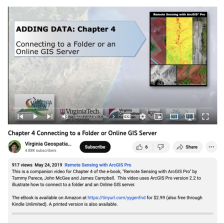 This video, provided by Virginia Geospatial Extension, is part of a series of 28 tutorial videos on remote sensing with ArcGIS Pro. This video is the first of three tutorials that cover adding data to a map project. This tutorial "uses ArcGIS Pro version 2.2 to illustrate how to connect to a folder...
 This tutorial, provided by Virginia Geospatial Extension, is part of a series of 30 videos that cover remotely sensed data in ArcMap 10.x versions. This tutorial demonstrates connection to a driver and server in ArcMap. This video runs 01:34 minutes in length. The other videos in the series are...
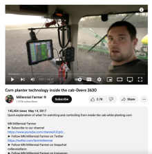 This video, from Milennial Farmer, shows Zach Johnson in the cab of a John Deere 2630 tractor. During the video Johnson shows viewers the 2630 monitor and demonstrates how it's controlling the corn planter. The monitor shows the target number of seeds to be planted and the actual number planted, the...
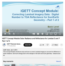 This video, from the Integrated Geospatial Education and Technology Training Project (iGETT), is the first part of a two-part presentation on correcting Landsat imagery data for solar reflectance. The lecture introduces the concept of solar irradiance, brightness and its digital number, and the...
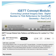 This video, from the Integrated Geospatial Education and Technology Training Project (iGETT), is the second part of a two-part presentation on correcting Landsat imagery data for solar reflectance. The lecture reviews and builds on concepts introduced in the first video, before moving on to the...
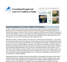 This exercise, from the Integrated Geospatial Education and Technology Training Project (iGETT), uses remote sensing data to explore the correlation between environmental conditions and conflict in Sudan. In this eight part activity, students use MODIS imagery and NDVI Analysis in the context of...
|
| ← PreviousNext → |