Browse Resources
Information and Security Technologies -- Geospatial technologies
Resources | |
|---|---|
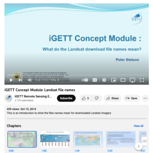
This video, from the Integrated Geospatial Education and Technology Training Project (iGETT), gives a detailed explanation of the naming conventions for Landsat files. The presentation covers the elements of the file names and the context needed to understand those elements, including a brief...
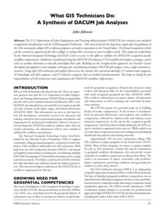
This article is a consolidation of 8 DACUM Job Analyses for GIS Technicians from across the United States published in the URISA Journal Volume 22, Issue 2, 2010. It includes supplemental tables. Identifies 55 common task categories, 35 knowledge and skill categories and 27 behavior categories which...
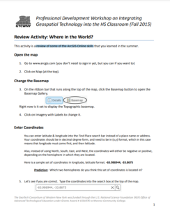
This 2-page activity from the GeoTech Consortium of Western New York provides students with a review of basic ArcGIS Online skills. Covered is changing the basemap, entering coordinates, and measuring length. The activity features instructions and spaces for students to answer questions. Users will...
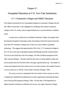
This is a 27-page white paper on the history of geospatial education at two-year colleges in the United States. The paper addresses the history of the field from the 1980s to present. The document also looks at how GIS education fits into the larger community college landscape and discusses...
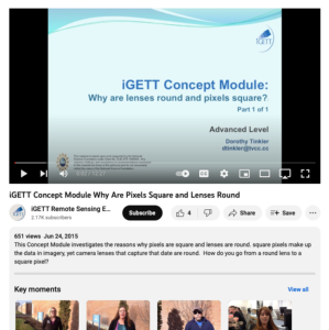
This video, created by Integrated Geospatial Education and Technology Training Project (iGETT), covers why pixels are square and lenses are round. The video discusses the following questions: why are pixels round, can pixels be shapes other than square, why are lenses round, and why aren't lenses...
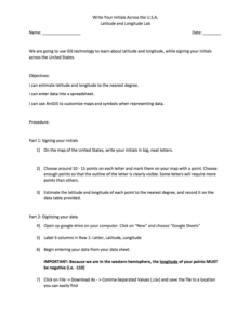
In this 4-page activity, provided by the GeoTech Consortium of Western New York: Get the GIST (Geospatial Information Science Technology) Certificate, users will use GIS technology to learn about latitude and longitude. Objectives for this activity include estimating latitude and longitude to the...
| |
| ← Previous | |
