Browse Resources
Information and Security Technologies -- Geospatial technologies
Resources | |
|---|---|
Learning Unit Description:
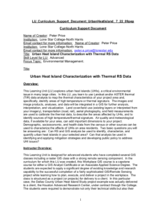
Integrated Geospatial Education and Technology Training (iGETT) presents a series of Learning Units (LU) designed to incorporate federal land remote sensing data into Geographic Information Systems (GIS) instruction. This LU "... explores urban heat islands (UHIs), a...
Exercise Description:
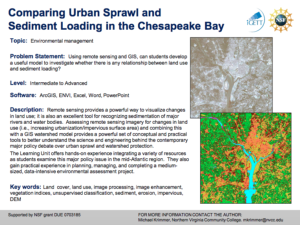
This exercise, created by the Integrated Geospatial Education and Technology Training Project (iGETT) asks students to develop a model to examine the relationship between land use and sediment loading. Data from the Chesapeake Bay region will be utilized. Remote sensing...
The Urban and Regional Information Systems Association (URISA) “is a multidisciplinary association where professionals from all parts of the spatial data community can come together and share concerns and ideas.” URISA connects the GIS community through webinars, workshops, publications, a career...
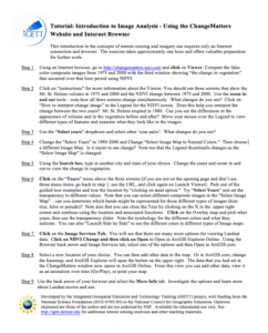
This tutorial, from the Integrated Geospatial Education and Technology Training Project (iGETT), uses a viewer available through an internet browser to introduce students to remote sensing and imagery. The nine step activity uses the ChangeMatters viewer from the Ersi GIS company to investigate...
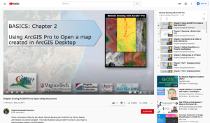
This video, provided by Virginia Geospatial Extension, is part of a series of 28 tutorial videos on remote sensing with ArcGIS Pro. This tutorial demonstrates how to import a map document created in ArcGIS desktop. This video runs 04:08 minutes in length. The other videos in the series are available...
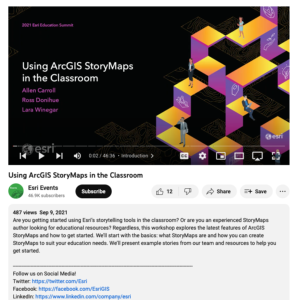
This video, from the 2021 Esri Education Summit, discusses using ArcGIS StoryMaps in the classroom. During this video, "... the latest features of ArcGIS StoryMaps and how to get started" are explored. The basics are covered, including what StoryMaps are and how a user can create StoryMaps that suit...
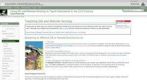
This page, from Science Education Resource Center at Carlton College (SERC), offers a number of resources for teaching GIS and remote sensing in both the field and the classroom in order to help build "geoscientists' habits of mind, which are essential for moving from a novice to an expert...
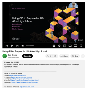
This video, from the 2021 Esri Education Summit, provides three presentations on how GIS prepares youth for challenges beyond high school. In the first presentation, Bob Kolvoord explores the measurement of cognitive and behavioral changes in students from GIS use. Kolvoord describes a...
This video, provided by Virginia Geospatial Extension, is part of a series of 22 tutorial videos on working with Lidar using ArcGIS Pro. This tutorial "demonstrate[s] Profile View in ArcGIS Pro, an essential tool for classifying unassigned points in a point cloud." This video runs 05:01 minutes in...
Learning Unit Description:
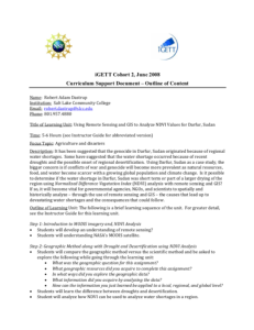
Integrated Geospatial Education and Technology Training (iGETT) presents a series of Learning Units (LU) designed to incorporate federal land remote sensing data into Geographic Information Systems (GIS) instruction. This LU focuses on what likely caused the crisis in...
| |
| ← Previous | Next → |
