Browse Resources
Information and Security Technologies -- Geospatial technologies
Resources |
|---|
 This resource, provided by the GeoTech Center, is the third of nine online modules in the Python and Geospatial Mapping course. The course is designed for experienced users of Global Information Systems (GIS) platforms who are new to programming, with the goal of teaching them how to use Python to...
 This video, provided by the GeoTech Center, is the companion video to the second assignment from module three of the Python and Geospatial Mapping course, titled Python and Geospatial Technology. The course is designed for experienced users of Global Information Systems (GIS) platforms who are new...
 This video assignment, provided by the GeoTech Center, is the first assignment from module three of the Python and Geospatial Mapping course, titled Python and Geospatial Technology. The course is designed for experienced users of Global Information Systems (GIS) platforms who are new to...
 This video assignment, provided by the GeoTech Center, is the third assignment from module three of the Python and Geospatial Mapping course, titled Python and Geospatial Technology. The course is designed for experienced users of Global Information Systems (GIS) platforms who are new to...
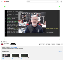
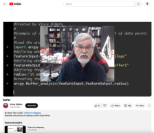 This video, provided by the GeoTech Center, is from the third module of the Python and Geospatial Mapping course, titled Python and Geospatial Technology. The course is designed for experienced users of Global Information Systems (GIS) platforms who are new to programming, with the goal of teaching...
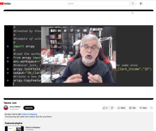
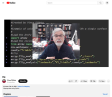 This video, provided by the GeoTech center, is from the third module of the Python and Geospatial Mapping course, titled Python and Geospatial Technology. The course is designed for experienced users of Global Information Systems (GIS) platforms who are new to programming, with the goal of teaching...
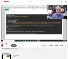 This video, provided by the GeoTech center, is from the third module of the Python and Geospatial Mapping course, titled Python and Geospatial Technology. The course is designed for experienced users of Global Information Systems (GIS) platforms that are new to programming, with the goal of teaching...
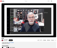 This video lesson, provided by the GeoTech Center, is from the third module of the Python and Geospatial Mapping course, titled Python and Geospatial Technology. The course is designed for experienced users of Global Information Systems (GIS) platforms who are new to programming, with the goal of...
 This video, provided by the GeoTech Center, is from the third module of the Python and Geospatial Mapping course, titled Python and Geospatial Technology. The course is designed for experienced users of Global Information Systems (GIS) platforms who are new to programming, with the goal of teaching...
 This video lesson, provided by the GeoTech Center, is from the third module of the Python and Geospatial Mapping course, titled Python and Geospatial Technology. The course is designed for experienced users of Global Information Systems (GIS) platforms who are new to programming, with the goal of...
|
| ← PreviousNext → |