Browse Resources
Information and Security Technologies -- Geospatial technologies
Resources |
|---|
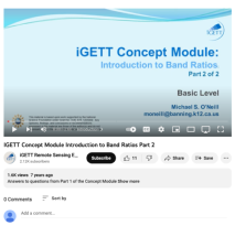 This resource, created by Integrated Geospatial Education and Technology Training Project (iGETT), is the second in a series of two videos about band ratios. This video includes three questions to answer after students have watched the first video. Two true/false and one short answer question are ...
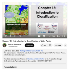 This video, provided by Virginia Geospatial Extension, is part of a series of 22 tutorial videos on working with Lidar using ArcGIS Pro. This tutorial reviews Lidar remote sensing and discusses why lidar point clouds must be classified. This video runs 03:54 minutes in length. The other videos in...
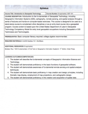
 This course document, provided by Bronx Community College, provides a framework for an introduction to geographic information systems class. The document features a course description, and course syllabus and prerequisites. The syllabus of this 3 credit 4 hour course introduces students to basic...
 These resources include a 4-page syllabus and a 3-page course table map for the Introduction to Geographic Information Systems (GIS) course taught at Weber State University. "This introductory course presents the fundamental concepts and applications of Geographic Information Systems (GIS)." In this...
 GeoTech Center presents a series of model courses on GIS, spatial technologies, and related subjects. This seventh course introduces "how to customize GIS software applications by way of modified service interface elements" by learning various scripting languages. All users can access the detailed...
 Description:
This Introduction to Geospatial Technology course, from the National Information, Security & Geospatial Technologies Consortium, is part of a series of model courses on GIS, spatial technologies, and related subjects to provide students with the professional skills necessary to succeed...
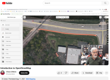 This video, provided by the GeoTech Center, is part of a series on web mapping and provides an overview of OpenStreetMap (OSM). OSM is a free, community-ran online map that features a variety of map layers and editable features.
After introducing OSM, Vince DiNoto, director of the GeoTech Center,...
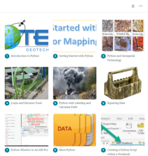
 This resource, provided by the GeoTech Center, is the first of nine online modules in the Python and Geospatial Mapping course. Designed for experienced users of Global Information Systems (GIS) platforms who are new to programming, this course aims to teach learners how to use Python to automate...
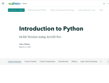
 This online course, provided by the GeoTech Center, is designed to teach Python programming specifically for geospatial mapping programs. The intended audience of this course is someone who is new to programming but is an experienced user of ArcGIS Pro or other geographic information systems (GIS)...
 This 11-page PDF, provided by the GeoTech Center, serves as the companion document to a workshop that offered a brief version of the Center's longer, 9-module online course on Python programming for ArcGIS Pro. The PDF comprises five chapters, mirroring five of the nine modules covered in the...
|
| ← PreviousNext → |