Browse Resources
Information and Security Technologies -- Geospatial technologies
Resources |
|---|
 The Institute for Environmental and Spatial Analysis (IESA) was formed at Gainesville State College in 2001. The Institute is a collaborative effort of the Gainesville State College Division of Natural Sciences, Engineering, and Technology, and Division of Social Sciences, North Georgia College and...
 On this page from the SAGE 2YC project, Carol Ormand has compiled a number of useful presentations and reading materials on integrating professional preparation into a GIS program. As the website states: "Preparing your students for their future careers isn't something you do just once...it's an...
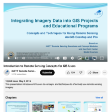 This video, created by Integrated Geospatial Education and Technology Training Project (iGETT), provides an introduction to remote sensing for Geographic Information Systems (GIS) users. This video discusses the following topics: how can remote sensing imagery be used, two types of "sensors" for...
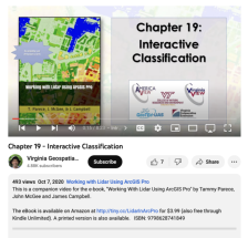 This video, provided by Virginia Geospatial Extension, is part of a series of 22 tutorial videos on working with Lidar using ArcGIS Pro. This tutorial demonstrates tools for classifying unassigned points interactively. This video runs 08:23 minutes in length. The other videos in the series are...
 GeoTech Center presents a series of model courses on GIS, spatial technologies, and related subjects. This internship course is a "structured experience in a supervised setting that is related to the student's major and career interests." This course "provides students with an overview of...
 This 4-page resource is provided by the GeoTech Consortium of Western New York: Get the GIST (Geospatial Information Science Technology) Certificate and is intended as a professional development activity. During this activity users will learn to navigate and work with a web map by using map tools...
 This video, provided by Virginia Geospatial Extension, is part of a series of 22 tutorial videos on working with Lidar using ArcGIS Pro. This tutorial discusses geoprocessing tools for classification, the location of LAS dataset tools in the toolbox, and geoprocessing tools on the LAS Dataset Layer...
 This video, provided by Virginia Geospatial Extension, is part of a series of 22 tutorial videos on working with Lidar using ArcGIS Pro. This tutorial "... explore[s] the context sensitive toolbars and associated tabs when selecting a layer in Contents." This video runs 02:20 minutes in length. The...
 This video, provided by the GeoTech center, is from the first of nine online modules in the Python and Geospatial Mapping course. Designed for experienced users of Global Information Systems (GIS) platforms that are new to programming, this course aims to teach learners how to use Python to automate...
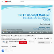 This resource, created by Integrated Geospatial Education and Technology Training Project (iGETT), is the first in a series of two videos about band ratios. This video provides an introduction to band ratios and covers the following topics: what is a band ratio, what key ideas govern band ratios, a...
|
| ← PreviousNext → |