Browse Resources
Information and Security Technologies -- Geospatial technologies
Resources |
|---|
 This video is provided GeoTech Center and is part of a series on web mapping. This brief video discusses how to configure Gmail to use with Integromat (now called Make). This platform helps users automate manual processes without needing code.
This video runs 00:38 seconds in length. Other videos...
 This site is a free public resource which provides teachers with the tools needed to enhance their instruction using Google Earth, the free program that brings the world to the classroom. Lesson plans include basic how-to guides, student and teacher controlled exercises and more.
 This 4-page resource, published by the Advanced Technology Environmental and Energy Center (ATEEC), provides an introduction to global position systems (GPS) and geographic information systems (GIS) and their usage in fieldwork. Included are two in-class activities: one pertaining to Geo-caching,...
 In this video adapted from Pathways to Technology, you’ll learn how geographic information systems (GIS) and global positioning systems (GPS) are changing the ways professionals, in many fields, make decisions about their businesses. GPS/GIS technology is used in farming, emergency management,...
 This video, created by Integrated Geospatial Education and Technology Training Project (iGETT), discusses ground truth remote sensing imagery. The video covers the following topics: using remotely sensed imagery, classification and analysis, ground truthing, ground observations supporting remotely...
 This webpage from the GeoTech Center includes a syllabus, and a number of lectures and lab exercises from the Spatial Analysis of a Crime model course. The course "provides an analysis of different methods and techniques of representing spatial crime data through the use of various computer-based...
 Course Description:
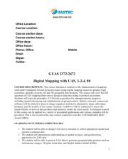
This course, developed by the Unmanned Aircraft Systems Technology Education Consortium (UASTEC) at Del Mar College, covers the fundamentals of digital mapping with Unmanned Aircraft Systems (UAS). "The course cover[s] the full spectrum of UAS mapping from survey design to...
 Course Description
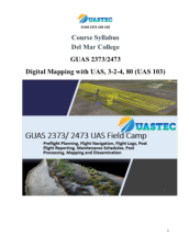
This course, developed by the Unmanned Aircraft Systems Technology Education Consortium (UASTEC) at Del Mar College, covers planning and executing sUAS flight plans. "This course applies all of the theory and skills taught in the first two GUAS courses (101 and 102) through...
 Course Description:
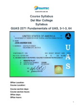
This course, developed by the Unmanned Aircraft Systems Technology Education Consortium (UASTEC) at Del Mar College, covers the fundamentals of Unmanned Aircraft Systems (UAS). "This foundation course will apply fundamental Geographic Information Science (GISC) theories,...
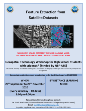 This 6-page resource, from the Geospatial Center of the CUNY CREST Institute, includes an application for the fall 2020 high school workshop Feature Extraction from Satellite Datasets. This workshop was intended to "expose and train participants in feature extraction techniques using industry...
|
| ← PreviousNext → |