Browse Resources
Information and Security Technologies -- Geospatial technologies
Resources |
|---|
 This 6-page syllabus provides an overview of the Intermediate GIS course taught at the California State University, Northridge. This course focuses on "the concepts and procedures used in discovering and applying the spatial relationships within and among spatial phenomena." The syllabus includes a...
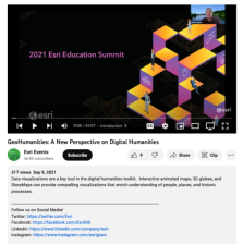 This video, from the 2021 Esri Education Summit, provides two presentations that explore new perspectives on digital humanities through the use of data visualizations. In the first presentation, Caitlin Dickinson explores creative uses of GIS in the digital humanities. Dickinson provides examples of...
 National Geographic and ESRI have created a new program to inspire educators and community members to work together to improve student learning.The GeoMentor program is designed to inspire volunteers to work with a teacher or youth club leader to help kids see, use, and do more geography in and out...
 These resources include a 4-page syllabus and a 1-page course table map for the Geospatial Analysis course taught at Weber State University. "This advanced geospatial course presents geoprocessing techniques that support spatial analysis and modeling in both the vector and raster data models. The...
 These resources include a 4-page syllabus and a 1-page course table map for the Geospatial Capstone at Weber State University. "This capstone course provides a summative learning experience that is a culmination of a students geospatial education. [Students] will apply [their] knowledge and skills...
 The GeoTech Center curated this list of geospatial career resources for the benefit of both students and instructors in this subject area. This page may be useful for both students and graduates who seek to "determine their favorite career pathway and locate jobs and internship opportunities." The...
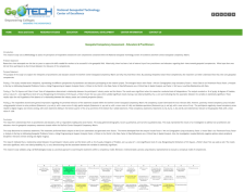 This web page provides an overview of a research study on the National Geospatial Technology Center of Excellence (GeoTech Center) Geospatial Competency Matrix. The study's purpose was to "explore the viewpoints of geospatial practitioners and educators toward the GeoTech Center Geospatial...
 These resources include a 4-page syllabus and a 1-page course table map for the Introduction to Geospatial Data Acquisition course taught at Weber State University. "This applied geospatial course introduces students to primary data collection methods in the field, with emphasis on GPS/GNSS, sUAS...
 This document from the GeoTech Center provides a report on the Geospatial Environmental Project. The project, which was done at the Collegiate High School at Northwest Florida State College, aimed to "increase the number of high school students who will major in engineering, science, and/or...
 These resources include a 3-page syllabus and a 1-page course table map for the Geospatial Internship course at Weber State University. "This summative course provides a structured work experience in a supervised setting under the direction of a geospatial employer mentor and the course instructor....
|
| ← PreviousNext → |