Browse Resources
Information and Security Technologies -- Geospatial technologies
Resources |
|---|
 This video from the National Center for Autonomous Technologies describes the Federal Aviation Administration Unmanned Aircraft Systems College Training Initiative (FAA UAS CTI) and its work. In the video, outreach and engagement, including Drone Safety Day, Droning On for different regions to...
 This video, from the 2021 Esri Education Summit, explores field data collection. In the video, Kylie Donia explores how students and educators can employ data collection and GIS for educational projects. Project design, data collection apps, remote data collection and collaboration, and other...
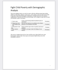 This activity, adapted from the Esri Learn ArcGIS Lesson: Fight Child Poverty with Demographic Analysis, is a practice in combining demographic information, census data, and ArcGIS digital mapping tools. This document contains 39 pages of step-by-step instructions and images as students learn to...
 Learning Unit Description:
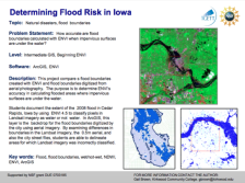
The Integrated Geospatial Education and Technology Training Project (iGETT) presents a series of Learning Units (LU) designed to incorporate federal land remote sensing data into Geographic Information System (GIS) instruction. The Flood Boundary Comparison LU examines...
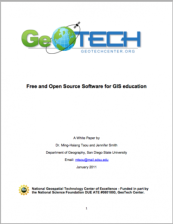 In this white paper, sponsored by GeoTech and written by Dr. Ming-Hsiang Tsou and Jennifer Smith from San Diego State's Department of Geophysics, the role of open source software in Geographic Information System (GIS) education is described. "Open source software is not well adopted in GIS education...
 This 258-page document, published by Natural Resources Canada, provides detailed information on remote sensing. The document is divided into the following chapters: Introduction, Sensors, Microwaves, Image Analysis, Applications, and more. Each chapter includes descriptions, definitions, graphics,...
 This 7-page syllabus provides an overview of the Introduction to Geographic Information Lab taught at Michigan State University. In this course students "learn how to perform basic geographic analysis using Geographic Information Systems, apply aerial interpretation concepts to describing landscape...
 This module is provided by GeoTech Center, and discusses geocoding as it relates to geospatial data. Module contents include a video recording and a quiz that reviews the content presented in the module.
The Concept Module is a recorded PowerPoint presentation provided by Dr. Thomas Mueller who...
 The U.S. Department of Labor Employment & Training Administration has created O*NET, a collection of detailed descriptions of the world of work for use by job seekers, workforce development and HR professionals, students, and researchers. This particular page explores the vocation of Geographic...
 This 6-page syllabus provides an overview of the Introduction to GIS course taught at the California State University, Northridge. This course is an "introduction to fundamental concepts of geographical information science. Course will cover technical and context knowledge for basic spatial...
|
| ← PreviousNext → |