Browse Resources
Information and Security Technologies -- Geospatial technologies
Resources |
|---|
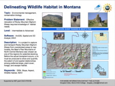 The Integrated Geospatial Education and Technology Training Project (iGETT) presents a series of Learning Units (LU) designed to incorporate federal land remote sensing data into Geographic Information Systems (GIS) instruction. The Evaluating Wildlife Habitat LU, created by Douglas Crebs of Stone...
 Learning Unit Description:
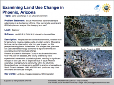
The Integrated Geospatial Education and Technology Training Project (iGETT) presents a series of Learning Units (LU) designed to incorporate federal land remote sensing data into Geographic Information System (GIS) instruction. The Examining Land Use Change in Phoenix,...
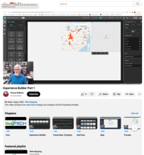 This video, provided by the GeoTech Center, is part of a series on web mapping and focuses on designing and configuring the ArcGIS Experience Builder. The ArcGIS Experience Builder allows for the creation of low-code and no-code Geographic Information System (GIS) web apps through configurable...
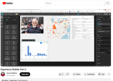 This video, provided by the GeoTech Center, is part of a series on web mapping and provides an overview of the tools/widgets that can be used with geospatial data in the ArcGIS Experience Builder. The ArcGIS Experience Builder allows for the creation of low-code and no-code Geographic Information...
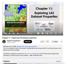 This video, provided by Virginia Geospatial Extension, is part of a series of 22 tutorial videos on working with Lidar using ArcGIS Pro. This tutorial covers lidar dataset properties and metadata, including point count, coordinate system information, and more. This video runs 6:01 minutes in length....
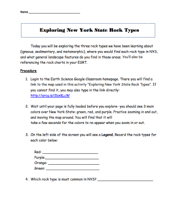 This 4-page activity is provided by the GeoTech Consortium of Western New York: Get the GIST (Geospatial Information Science Technology) Certificate. In this activity users explore three rock types (igneous, sedimentary, and metamorphic). The activity includes a link to the map Exploring New York...
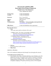 These resources include a 4-page syllabus and a 2-page course table map for the Exploring Our World Through Geospatial Technology course taught at Weber State University. "This ... exploratory course introduces [students] to the fundamental concepts of Geospatial Science and how Geospatial...
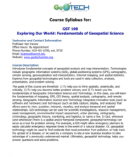 GeoTech Center presents a series of model courses on GIS, spatial technologies, and related subjects. This first course introduces "geospatial analysis and map interpretation," including "geographic information systems (GIS), global positioning systems (GPS), cartography, remote sensing,...
 This video, provided by Virginia Geospatial Extension, is part of a series of 16 tutorial videos on using Lidar with ArcGIS Desktop. This tutorial demonstrates how to work with the 3D Analyst toolbar in ArcMap, one of the software applications of ArcGIS Desktop. This video runs 08:05 minutes in...
 This video, provided by Virginia Geospatial Extension, is part of a series of 16 tutorial videos on using Lidar with ArcGIS Desktop. This tutorial demonstrates how to navigate the LAS dataset toolbar in ArcMap, one of the software applications of ArcGIS Desktop. This video runs 07:00 minutes in...
|
| ← PreviousNext → |