Browse Resources
Information and Security Technologies -- Geospatial technologies
Resources |
|---|
 This video, provided by Northland Community and Technical College, is a recording of the Laying the Ground Work for Drone Operations session at the 2020 Drones Take Flight workshop. "In this session, DRONETECH Director Tom Biller gives an overview of best practices in areas of safety, maintenance,...
 This video, provided by Northland Community and Technical College, is a recording of the open discussion session at the 2020 Drones Take Flight workshop. "In this session, workshop presenters Zackary Nicklin, Tom Biller and Steve Sorenson have an open discussion with workshop attendees." This video...
 This video, provided by Northland Community and Technical College, is a recording of the Part 107 and What it Means to You session at the 2020 Drones Take Flight workshop. "In this session, NCAT Co-PI and Northland UAS Program Manager Zackary Nicklin covers a broad overview of the regulatory...
 This video, provided by Northland Community and Technical College, is a recording of the Rise of the STEM Drones session at the 2020 Drones Take Flight workshop. "In this session, DRONETECH Director Tom Biller gives a side-by-side comparison of the two most popular STEM drones: Ryze Tello and the...
 This video, provided by Northland Community and Technical College, is a recording of the STEM Drones on a Shoestring Budget session at the 2020 Drones Take Flight workshop. "In this session, DRONETECH Director Tom Biller gives an overview of funding sources, skills you can highlight, curriculum...
 This video, provided by Northland Community and Technical College, is a recording of the Student Competitions session at the 2020 Drones Take Flight workshop. "In this session, DRONETECH Director Tom Biller discusses the [Robotics Aerial Drone] RAD and Skills USA competitions and what the plans are...
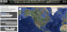 This tool from the United States Geological Survey provides an easy way to navigate a variety of data sets including aerial photography, AVHRR composites, declassified data, digital line graphs, digital maps and more. The tool also makes it easy to find the latitude and longitude for a given...
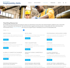 This webpage, from SRI International, provides teaching resources that are suitable for one or more of the stages of employability skills development. The resources are divided in the following categories: Confront Misconceptions and Explain, Play, Practice, Reflect and Grow, and Support. The...
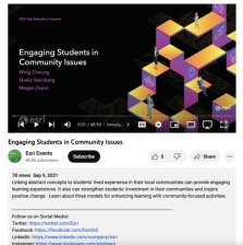 This video, from the 2021 Esri Education Summit, highlights how educators can link abstract concepts to students' lived experience in their local communities and how this can provide engaging learning experiences, strengthen students' investment in their communities, and inspire positive change. In ...
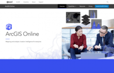 ArcGIS Online provides ArcGIS users with a set of foundation services that are deeply integrated with ArcGIS. As an ArcGIS user, you have immediate access to map services, task services, software developer kits (SDKs), and other content via the Web. ArcGIS Online services are available as standard,...
|
| ← PreviousNext → |