Browse Resources
Information and Security Technologies -- Geospatial technologies
Resources |
|---|
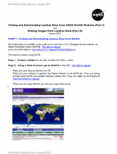
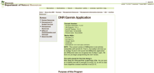 This website from the Minnesota department of natural resources provides information on the Garmin DNR application. The purpose of the application, its functionality and screenshots are included. The site also includes links which may be used to download the program.
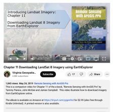 This video, provided by Virginia Geospatial Extension, is part of a series of 28 tutorial videos on remote sensing with ArcGIS Pro. This tutorial "provide[s] step by step instructions for downloading Landsat 8 imagery via USGS's EarthExplorer website." This video runs 10:45 minutes in length. The...
 This tutorial, provided by Virginia Geospatial Extension, is part of a series of 30 videos that cover remotely sensed data in ArcMap 10.x versions. This video demonstrates viewing and downloading Landsat imagery using Earth Explorer. The video runs 01:55 minutes in length. The other videos in the...
 This tutorial, provided by Virginia Geospatial Extension, is part of a series of 30 videos that cover remotely sensed data in ArcMap 10.x versions. Tutorial seven is divided into four videos: A, B, C, and D. This video demonstrates using the GLOVIS viewer. This video runs 02:32 minutes in length....
 This two-part exercise, created by Jeannie Allen and offered by the Integrated Geospatial Education and Technology Training Project (iGETT), introduces students to the process of locating and downloaded Landsat data from the United States Geological Survey (USGS) GloVIS website (part one), and how...
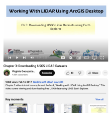 This video, provided by Virginia Geospatial Extension, is part of a series of 16 tutorial videos on using Lidar with ArcGIS Desktop. This tutorial demonstrates how to download Lidar datasets from the United States Geological Survey (USGS) using Earth Explorer. This video runs 03:58 minutes in...
 Collection Description:
This collection includes materials from the DroneTech Educator Workshop: Drones and Geospatial Applications that was held by the National Center for Autonomous Technologies (NCAT). "This workshop ... focus[ed] on developing and integrating practical applications of Drone and...
 This collection includes materials from the DroneTech Virtual Educator Workshop: STEM Drones Take Flight that was held by the National Center for Autonomous Technologies (NCAT). The workshop was intended to be an introduction to drones and how they can be incorporated into educational programs. The...
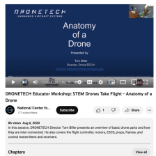 This video, provided by Northland Community and Technical College, is a recording of the Anatomy of a Drone session from the 2020 Drones Take Flight workshop. "In this session, DRONETECH Director Tom Biller presents an overview of basic drone parts and how they are inter-connected. [Biller] also...
 This video, provided by Northland Community and Technical College, provides an introduction to the Drones Take Flight workshop. In this session, DRONETECH Director Tom Biller "discusses the workshop rationale, goals, and topics that will be covered." This video recording runs 17:40 minutes in...
|
| ← PreviousNext → |