Browse Resources
Information and Security Technologies -- Geospatial technologies
Resources |
|---|
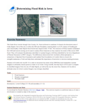 This exercise, from the Integrated Geospatial Education and Technology Training Project (iGETT), uses annual flood risk in Cedar Rapids, Iowa as an example to help students understand how Geographic Information System (GIS) and remote sensing can be used to analyze flood situations. Using this...
 Learning Unit Description:
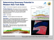
The Integrated Geospatial Education and Technology Training Project (iGETT) presents a series of Learning Units (LU) designed to incorporate federal land remote sensing data into Geographic Information System (GIS) instruction. The Determining Greenway Potential in...
 Learning Unit Description:
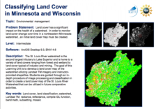
The Integrated Geospatial Education and Technology Training (iGETT) presents a series of Learning Units (LU) designed to incorporate federal land remote sensing data into Geographic Information Systems (GIS) instruction. The Classifying Land Cover in Minnesota and...
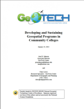 This white paper is intended to help guide users through the process of creating and improving a two year college geospatial technology program. The paper includes a step by step logic model flowchart and recommendations. Written by former ESRI Higher Education manager Ann Johnson for the GeoTech...
 This YouTube channel from Directions Media includes educational videos related to geospatial technology. Directions Media is the leading source of information, news and commentary in the fields of geospatial and location-based technologies. They keep readers informed with news and technology issues...
 This tutorial, provided by Virginia Geospatial Extension, is part of a series of 30 videos that cover remotely sensed data in ArcMap 10.x versions. This video covers displaying Landsat imagery in ArcMap, Setting processing workplaces, and the Image Analysis Window. This video runs 02:53 minutes in...
 This video, provided by Virginia Geospatial Extension, is part of a series of 28 tutorial videos on remote sensing with ArcGIS Pro. This tutorial "uses ArcGIS Pro version 2.3 to illustrate how to display different bands of a Landsat scene..." The band's properties are examined, including viewing and...
 This tutorial, provided by Virginia Geospatial Extension, is part of a series of 30 videos that cover remotely sensed data in ArcMap 10.x versions. This video demonstrates modifying symbology for vector and raster features in ArcMap. This video runs 01:48 minutes in length. The other videos in the...
 This video, provided by Virginia Geospatial Extension, is part of a series of 28 tutorial videos on remote sensing with ArcGIS Pro. This tutorial demonstrates how to display raster data in ArcGIS Pro version 2.2. This video runs 05:12 minutes in length. The other videos in the series are available...
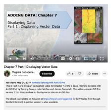 This video, provided by Virginia Geospatial Extension, is part of a series of 28 tutorial videos on remote sensing with ArcGIS Pro. This tutorial "uses ArcGIS Pro version 2.2 to illustrate how to display vector data in ArcGIS Pro." This video runs 10:34 minutes in length. The other videos in the...
|
| ← PreviousNext → |