Browse Resources
Resources |
|---|
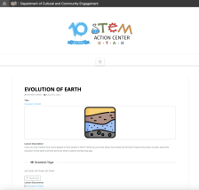
This activity, from the STEM Action Center - Utah, teaches students about the evolution of Earth. The activity is intended for 3rd through 5th grades and includes the aligning UT SEEd Standard. During the activity, students watch an "... animation about how layers in the earth form and how they can...
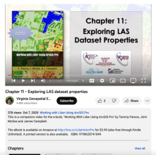
This video, provided by Virginia Geospatial Extension, is part of a series of 22 tutorial videos on working with Lidar using ArcGIS Pro. This tutorial covers lidar dataset properties and metadata, including point count, coordinate system information, and more. This video runs 6:01 minutes in length....
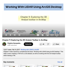
This video, provided by Virginia Geospatial Extension, is part of a series of 16 tutorial videos on using Lidar with ArcGIS Desktop. This tutorial demonstrates how to work with the 3D Analyst toolbar in ArcMap, one of the software applications of ArcGIS Desktop. This video runs 08:05 minutes in...
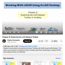
This video, provided by Virginia Geospatial Extension, is part of a series of 16 tutorial videos on using Lidar with ArcGIS Desktop. This tutorial demonstrates how to navigate the LAS dataset toolbar in ArcMap, one of the software applications of ArcGIS Desktop. This video runs 07:00 minutes in...
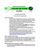
This activity, provided by the Advanced Technology Environmental and Energy Center (ATEEC), takes students on a virtual field trip that explores issues around the Exxon Valdez Oil Spill, such as the path of the oil tanker, impacts of the oil spill, and more. The 12-page document includes a short...
This activity, from The Advanced Technology Environmental and Energy Center (ATEEC), uses Google Earth to take students on a virtual field trip to the Alyeska Marine Terminal in Valdez, Alaska, exploring the different aspects of oil transfer. The tour features points of interest that link to...
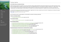
This site, created by Venkatesh Merwade of Purdue University, offers tutorials relating to GIS and water resources modeling. Topic areas covered are hydraulic and hydrologic modeling, GIS and hydrologic modeling and downloading geospatial and temporal data for hydrologic/hydraulic modeling. All...
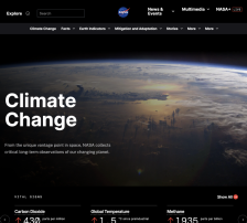
This page, from NASA's Jet Propulsion Laboratory, offers links to organizations providing student and educator resources on global climate change. Organizations featured include the National Oceanic and Atmospheric Administration (NOAA), the Earth System Science Education Alliance (ESSEA), the...
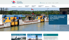
The St. Lawrence Seaway connects the Atlantic Ocean to the Great Lakes, and it was completed in 1959. This website details the activities of the Seaway System, and visitors with an interest in transportation and public policy will find the site both useful and interesting. At the top of the...
This 3-page learning activity, from the Advanced Technology Environmental and Energy Center (ATEEC), provides a guide for instructors looking to give their classes hand-on experience with groundwater monitoring and sampling. The class will need access to property where at least three groundwater...
|
| ← PreviousNext → |
