Python with Labeling and Calculate Field, Advanced Labels Lesson (Module 5 of 9)

This video lesson, provided by the GeoTech Center, is from the fifth module of the Python and Geospatial Mapping course, titled Python with Labeling and Calculate Field. The course is designed for experienced users of Global Information Systems (GIS) platforms who are new to programming, with the goal of teaching them how to use Python to automate processes through the construction of short scripts in ArcGIS Pro.
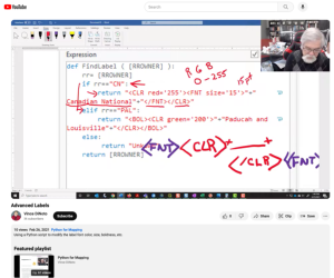
In the video, Vince DiNoto, director of the GeoTech Center, discusses demonstrates the use of Extensible Markup Language (XML) to edit label text in ArcGIS Pro. Using the same Python script featured in Label Lesson 1, DiNoto guides viewers the XML commands necessary to change text color, font face, and font size. Additionally, DiNoto provides instructions for using the RGB color chart, which translates customizable shades of color into XML code.
The video runs 8:20 minutes in length. Additional resources from the Python and Geospatial Mapping course are available to view separately.

Comments