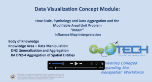
Data Visualization and MAUP Concept Module

This module is provided by GeoTech Center, and discusses concepts related to data visualization and geospatial technologies. Module contents include a video recording, the PowerPoint presentation featured in the video, and a module overview document.
The Concept Module is a recorded PowerPoint presentation provided by educator Ann Johnson, who reviews important cartographic concepts related to data visualization. Topics covered in the video include map scale, implementing color, as well as common types of thematic maps. Additionally, this module introduces the Modifiable Areal Unit Problem (MAUP), and discusses the implications of data visualization decisions on data analysis, using the case study of Coronavirus maps. This recording runs for 14:57 minutes in length.
Below is a list of files included in the .zip attachment. The size of each file is included in parenthesis.
Data Visualization.zip (283.6 MB)
- Concept Module Video (Modifiable Aeeal Unit Problem V5.mp4 254.5 MB)
- Concept Module PowerPoint Presentation (Modifiable Aeeal Unit Problem V5.pptx 29.1MB)
- Concept Module Overview (Data Visualization and MAUP Concept Module.docx 12 KB)
About this Resource


Comments