Remote Sensing: Principles and Methods (GEO 3840)

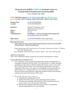
These resources include a 4-page syllabus and a 1-page course table map for the Geoscience: Principles and Methods course taught at Weber State University. "This is an advanced geospatial course that introduces and analyzes important concepts, issues, and methods related to a variety of multispectral and other types of remotely sensed imagery (e.g., satellite and airborne platforms)." The syllabus includes a course overview, course objectives, student learning outcomes, prerequisite information, methods of instruction, a course outline, and more. Specific course objectives include:
- Provide students with a strong foundation in the theoretical concepts of various remotely sensed imagery used to study earth surface phenomena.
- Introduce students to the fundamentals of digital image processing through hands-on assignments that apply essential techniques commonly used to manipulate and interpret remotely sensed imagery.
- Teach students to evaluate which remote sensing workflows (e.g., image preprocessing, image analysis, image classification, and accuracy assessment methods) should be applied to imagery based on their understanding of the data types and quality.
- Evaluate student learning through completion of a final project. Students will demonstrate the digital image processing skills learned in the course by designing and executing a remote sensing workflow that addresses a real-world application.
- Evaluate student communication skills through presentation of their final project results in both a professional 10-minute talk and an online forum (e.g., ESRI Story Map).
The course table map includes student learning objectives for each unit of the course. These learning objectives are mapped to corresponding Tier 4/5 competencies and skills from the Geospatial Technology Competency model - 2014 (GT).
About this Resource

Comments