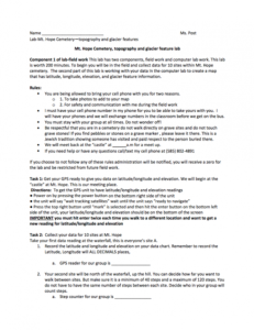
Mt. Hope Cemetery, Topography and Glacier Feature Lab: Part 1

This 2-page resource, provided by the GeoTech Consortium of Western New York, is part one of a 2-part lab activity that has students map the latitude, longitude, elevation, and glacier feature information of Mt. Hope Cemetery. In part one, students personally visit Mt. Hope Cemetery to collect data for ten sites. The lab sheet for part one includes rules, instructions, and a chart for inputting data.
Part two of this lab is available to view separately.
About this Resource
Alternate Title
Mt. Hope Cemetery, Topography and Glacier Feature Lab: Part One
Resource Type
Format
Audience
Education Level
Language

Subject
GEM Subject
Relation
Associated Files
Archived
Rights
Access Rights
STEMLink
Available in STEMLink
Comments