Write Your Initials Across the United States: Latitude and Longitude Lab

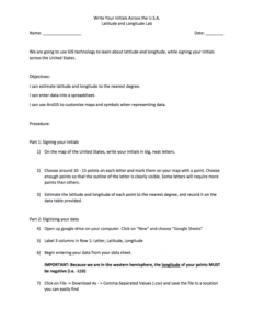
In this 4-page activity, provided by the GeoTech Consortium of Western New York: Get the GIST (Geospatial Information Science Technology) Certificate, users will use GIS technology to learn about latitude and longitude. Objectives for this activity include estimating latitude and longitude to the nearest degree, entering data into a spreadsheet, and using ArcGIS to customize maps and symbols when representing data. Users will need ArcGIS to complete this activity.
About this Resource
Resource Type
Format
Audience
Education Level
Language

Subject
GEM Subject
Relation
Associated Files
Archived
Rights
Access Rights
STEMLink
Available in STEMLink
Comments