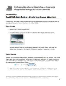
Intro Activity: ArcGIS Online Basics: Exploring Severe Weather

This 4-page resource is provided by the GeoTech Consortium of Western New York: Get the GIST (Geospatial Information Science Technology) Certificate and is intended as a professional development activity. During this activity users will learn to navigate and work with a web map by using map tools while exploring severe weather in the United States. The activity includes step-by-step instructions that involve opening and exploring the map, working with map layers, measuring distance, and considering how this activity can be used in the classroom. This resource is one in a series of activities from the Professional Development Workshop on Integrating Geospatial Technology into the HS Classroom. Other activities are available to view separately. Users will need ArcGIS to complete the activity.
About this Resource

Comments