Meta-DACUM Job/Occupation Analysis for GIS and Remote Sensing

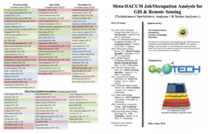
This 81-page resource is provided by GeoTech and includes a Meta-DACUM research chart and lists of DACUM job tasks and skills for GIS and Remote Sensing specialists. "Developing a Curriculum (DACUM) is a process that incorporates the use of a focus group in a facilitated storyboarding process to capture the major duties and related tasks included in an occupation, as well as, the necessary knowledge, skills, and traits." A DACUM can be used in the development of a curriculum and individual lesson plans to ensure class content is directly related to job requirements.
This resource lists job related meta-knowledge; meta-skills; meta-behaviors; and meta-tools, equipment, and supplies. The meta-DACUM research chart lists meta-duties and meta-tasks. Some of the duties include manage data, generate data, process data, analyze data, manage software and hardware, manage projects, and more. Some tasks include define data requirements, collect field attribute data, conduct network analysis, develop software applications and web services, conduct quantitative analysis, digitize data, and more.

Comments