Using a Browser to Access Imagery and Employ Basic Remote Sensing Concepts

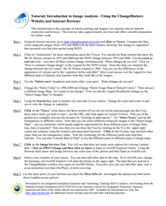
This tutorial, from the Integrated Geospatial Education and Technology Training Project (iGETT), uses a viewer available through an internet browser to introduce students to remote sensing and imagery. The nine step activity uses the ChangeMatters viewer from the Ersi GIS company to investigate changes to the Mt. St. Helens volcano from 1975 to 2000, look at cities, and more. The exercise is intended to take approximately one hour and give students a basis for further lessons in GIS.
About this Resource
Resource Type
Audience
Education Level
Language

Subject
GEM Subject
Relation
Associated Files
Archived
Rights
Access Rights
STEMLink
Available in STEMLink

Comments