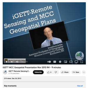
Remote Sensing and MCC Geospatial Plans

This video, from the Integrated Geospatial Education and Technology Training Project (iGETT), presents information about the iGETT-RS program, which is intended to develop a pipeline for community colleges to produce remote sensing technicians needed in the geospatial workforce. The 18-month program trains GIS faculty at community colleges, as well as faculty in high schools and four year colleges and universities interested in collaborating with these two-year programs. Example exercises and tutorials are presented, along with details of the program. The presentation is about ten minutes long and intended for community college GIS faculty interested in developing their personal experience and institutional programs.
About this Resource
Alternate Title
Remote Sensing and Monroe Community College Geospatial Plans
Creator
Date Issued
December 24th, 2013
Resource Type
Education Level
Language
Subject
GEM Subject
Relation
Associated Files
Archived
Rights
Access Rights
STEMLink
Available in STEMLink

Comments