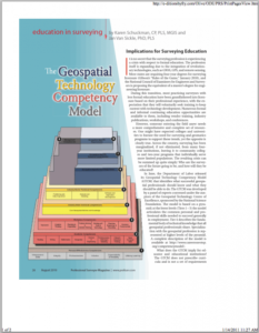
The Geospatial Technology Competency Model

This 2-page document explores the growing and changing field of surveying due to the incorporation of new technologies such as GPS, GIS, and remote sensing. Here, the Geospatial Technology Competency Model (GTCM) is addressed and contextualized for instructors. The GTCM formally outlined some of the tasks associated with careers in remote sensing, creating competency requirements for individuals entering the field. It was designed to organize the skills individuals need and inform curriculum design by instructors to help develop an informed and competent workforce.
About this Resource
Creator
Publisher
Date Issued
2010-08
Resource Type
Format
Audience
Education Level
Language
Subject
GEM Subject
Relation
ATE Contributor
Associated Files
Archived
Rights
Access Rights
STEMLink
Available in STEMLink

Comments