Palomar College GIS: GIS For Teaching Resource Portal

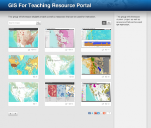
This page showcases student projects and other resources that may be used for GIS education. Users may view the resources as a grid, or by selecting the list view, they may read a brief description of each resource. These learning activities and interactive tools cover topics such as sociology, emergency response, tectonic activity, economics, public health and more. These interdisciplinary resources demonstrate how different types of data may be displayed on a map.
About this Resource
Resource Type
Format
Audience
Education Level
- High School -- Grade 9
- High School -- Grade 10
- High School -- Grade 11
- High School -- Grade 12
- Higher Education -- Technical Education (Lower Division)
- Higher Education -- Technical Education (Upper Division)
- Higher Education -- Undergraduate (Lower Division)
- Higher Education -- Undergraduate (Upper Division)
Language
Subject
GEM Subject
Relation
ATE Contributor
Associated Files
Archived
Rights
Access Rights
STEMLink
Available in STEMLink
Comments