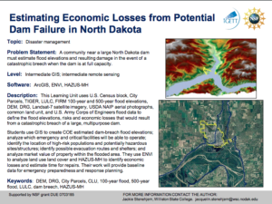
Potential Flood Elevations and Economic Losses after a Catastrophic Dam Failure

Learning Unit Description:
The Integrated Geospatial Education and Technology Training (iGETT) presents a series of Learning Units (LU) designed to incorporate federal land remote sensing data into Geographic Information Systems (GIS) instruction. This lesson uses GIS and remote sensing technologies in the context of emergency preparedness and response planning. The main objective of the lesson is to "demonstrate the use of Geographic Information Systems (GIS), ENVI Remote Sensing, and HAZUS-MH technology to assess potential risks for flood inundation in the event of a catastrophic dam breach and assist city officials with their disaster management planning."
This iGETT learning unit is intended for intermediate students and takes a minimum of eight weeks to complete.
Lesson Contents:
This lesson includes a curriculum support document, instructor guide, student guide, and multiple data sets in .rar format.
The curriculum support document, instructor guide, and student guide provide an overview of the LU and background information about dam failures. These documents also include learning objectives, student outcomes, scientific and/or geographic concepts covered, software and equipment needed, a timeline for the LU, and descriptions for each part of the lesson. The instructor guide includes more detailed descriptions for each part of the lesson.
For orientation purposes the DamBreach_jStenehjem-CS_July2008.pdf is included as a separate attachment and offers a sample of the type of material included in this unit.
Below is a list of the files included in the .zip attachment. The size of each file is included in parenthesis.
LU_Stene (14 files, 3.58 GB)
- (2002Landsat_Imager2.rar 125 MB)
- (2002Landsat_Imager3.rar 133.7 MB)
- (2002Landsat_Imagery1.rar 315.6 MB)
- Analysis of Potential Flood Elevations and Economic Losses in the Event of a Catastrophic Dam Breach, Using GIS and ENVI, with an Introduction to HAZUS-MH (DamBreach_jStenehjem-CS_July2008.pdf 67 KB)
- (Dbdata1a.rar 159.4 MB)
- (Dbdata1b.rar 123.3 MB)
- (Dbdata1c.rar 437.6 MB)
- (DBdata2.rar 437 MB)
- (DBdataImagery4.rar 1.62 GB)
- Estimating Economic Losses from Potential Dam Failure in North Dakota (June1_Stenehjem_SH_V2.pdf 18.1 MB)
- (SatelliteZulu.rar 205.3 MB)
- Estimating Economic Losses from Potential Dam Failure in North Dakota Instructor Guide (Stenehjem_IG_Final .pdf 343 KB)
- Estimating Economic Losses from Potential Dam Failure in North Dakota (Stenehjem_Thumbnail.pdf 133 KB)
About this Resource


Comments